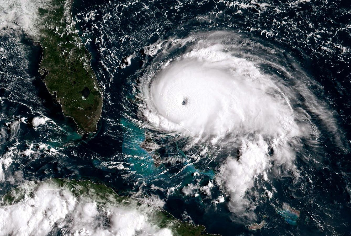

ATLANTIC OCEAN – SEPTEMBER 1: In this NOAA GOES-East satellite handout image, Hurricane Dorian, now a Cat. 5 storm, tracks towards the Florida coast taken at 13:20Z September 1, 2019 in the Atlantic Ocean. A hurricane warning is in effect for much of the northwestern Bahamas as it gets hit with 175 mph winds. According to the National Hurricane Center Dorian is predicted to hit the U.S. as a Category 4 storm. (Photo by NOAA via Getty Images)
Getty Images
It’s no surprise to many of us that the world is facing unique kinds of weather challenges right now.
Governments around the world are trying to get up to speed on information about changing weather and the life of the biosphere.
In the U.S., The National Oceanic and Atmospheric Administration or NOAA is responsible for much of this research.
Among recent NOAA findings is that the United States has experienced 24 weather-related disasters causing over $1 billion dollars in damages, and that the country has been experiencing at least 10 of these a year for a decade. That’s part of what has set the stage for ongoing efforts to improve our national response to the climate situation.
The NOAA maintains various types of equipment and methods to analyze global weather and predict likely outcomes, while diagnosing the health of the planet. Citing increased disaster risk, the agency has established key goals including disaster response, recovery (restoring essential services and facilities) and mitigation of damage.
But how does this work? What tools do we have at our disposal, and how does the public sector work with the private sector to address this?
Innovating Weather Investigation
Dan Slagen is CMO at Tomorrow.io, a company that is helping to figure out what’s happening at a global level. I covered the work of this startup before, in the context of what happens at Davos each year, and our “under the dome” work with TCS, although the prior post had a bigger focus on deep space and market context.
In a recent TED talk, Slagen reviewed more of what’s happening with this type of research, and how the company is contributing to more granular understanding.
He pointed out the value in observations with model training, inference and initialization, and reinforcement learning.
“Why is weather forecasting so hard?” Slagen asked.
Answering his own question, Slagen suggested that there’s a critical data problem that he called a “lack of global coverage,” along with other “coverage performance limitations.”
But new satellites and deployment strategies may help.
The Technology
One of the interesting parts of Slagen’s presentation, to me, was the enumeration of five kinds of data work that support operations.
The first one is multi-spectrum imaging, and the second one is high-resolution imaging.
These are pretty straightforward. The third one was new to me – It’s called radio occultation.
On Googling, it turns out that this is the study of planetary landscapes and infrastructure with remote sensing (check out this link from UCAR).
Then there’s a synthetic aperture radar, which according to the expert sources I reviewed, is a form of active remote sensing that uses the movement of the radar platform (like a satellite or plane) to simulate a large antenna — a “synthetic aperture” — which allows it to capture very high-resolution images.
ChatGPT provides this step-by-step explanation of how it works, in plain English, using Wikipedia and government sources:
- The radar system sends out microwave pulses toward the ground.
- These pulses bounce off the Earth’s surface and return to the sensor.
- As the satellite or aircraft moves, it takes multiple radar readings from different positions.
- These readings are combined using signal processing algorithms to create a single, high-resolution image — as if taken by a much larger antenna.
In addition to the above four technologies, Slagen simply named “telecom.”
None of these, he suggested, is specifically designed for atmospheric 3-D research.
A Government Directive
“NASA realized (the deficiency) years ago,” Slagen said, “and they essentially said, ‘look, whoever comes up with a new data architecture is going to completely give a step step function change to global weather forecasting forever.”
Tomorrow.io went to work, building a microwave sounder satellite, and now has seven of these in orbit, having launched the most recent one from Cape Canaveral weeks ago.
“We’re building a full-blown constellation that is the first commercial constellation on earth,” Slagen added, “in order to ‘see’ weather for the first time.”
Why is it important? One of Slagen’s points is the collective cost of disasters; estimated at $1 billion every 13 days in the U.S. That keeps insurance adjusters busy.
“There are very few things on earth that affect all 8 billion people,” Slagen said. “Weather just happens to be one of those things.”
First of Its Kind
As for Slagen’s claim that Tomorrow.io is pioneering private sector work on microwave sounder satellites, when I googled, I also found resources for a similar project undertaken by Northrop Grumman, a publicly traded company on the NYSE. However, digging a little deeper, it appears that the firm created the tech for NOAA, so yes, technically, Tomorrow.io’s project represents that first fully private sector initiative of its kind.
Watching the rest of the presentation, you can see how all of this contributes to robust weather data: Slagen shows us vibrant color pictures of weather activity, much of which, he explains, is new. We see storm movement in detail, and can forecast what’s going to happen in our personal lives as weather events develop. That’s a big value in a world where the weather seems to be constantly changing more and more often.