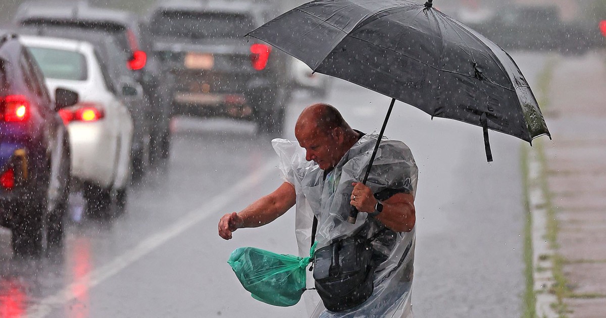
After a week of severe storms that soaked the East Coast and triggered devastating floods in the South, more rain is on the way with a renewed flood threat for still-reeling Texas and New Mexico.
Storms are passing through the Midwest, with heavy rain drenching Iowa and parts of Illinois as of Friday morning.
Overall, 19 million people are under the threat of hazardous storms capable of impacting major cities, including Kansas City, Chicago, Milwaukee, and Grand Rapids, from northern Missouri into western Michigan.
Severe thunderstorms will head east by Saturday, impacting eastern Michigan and parts of northern Indiana. One to two inches of rain is possible as the system tracks east, but some areas could see isolated amounts of three to five inches through the weekend.
Friday morning’s storms have already impacted travel, causing chaos at airports and prompting caution on roads. As of 8:30 a.m. ET, there’s been over 900 flight delays within, into or out of the U.S. and over 280 cancellations, according to Flightaware data.
Flood threat will also return to hard-hit Texas and New Mexico, where recovery operations are still underway and soils remain saturated.
Catastrophic floods hit central Texas over the Fourth of July weekend that left more than 100 people dead, and historic flash floods hit the remote village of Ruidoso, New Mexico, this week and killed at least three people.
In those floods, the Guadalupe River near Kerrville, Texas, surged more than 20 feet in 90 minutes during the storm, washing away roads and inundating homes. In New Mexico, the Rio Ruidoso River rose 18 feet in just 30 minutes, and flooding fell on burn scars from the South Fork and Salt fires that occurred last year.
Friday will be a dry day for these states, but thunderstorms will return over the weekend, fueled by abundant Gulf moisture.
A slight risk for flooding is in effect for Texas on Saturday, where thunderstorms with heavy rainfall are forecast for the Texas Hill Country. A flood risk is in place from Oklahoma City, Oklahoma, into San Angelo and Kerrville, Texas, on Saturday.
Thunderstorms will also be possible over New Mexico, including the Ruidoso area. Storms will be a bit more isolated in this area, but there is a heightened risk of burn scar flooding into Sunday morning.
Come Sunday, more showers and storms are forecast across the Southern region.
Rain has also inundated the East Coast earlier this week, snarling traffic, leading to water rescues, and killing at least two in North Carolina.

The Alamance County sheriff’s office in North Carolina said two people died in traffic-related incidents after vehicles were swept off the roadway in floods.
The U.S. observed at least four 1-in-1,000-year rainfall events in the past week in Texas, New Mexico, North Carolina, and Illinois.
Kristina Dahl, vice president for science at the nonprofit organization Climate Central, said that “any one of these intense rainfall events has a low chance of occurring in a given year…so to see events that are historic and record-breaking in multiple parts of the country over the course of one week is even more alarming.”
Scientists say the climate crisis and a warming planet are fueling heavier rainfall events. A warmer atmosphere can hold more water, making storms capable of dumping huge amounts of rain over land. Studies have shown that for every degree Fahrenheit that the planet heats up, the atmosphere can hold around 3% to 4% more moisture.