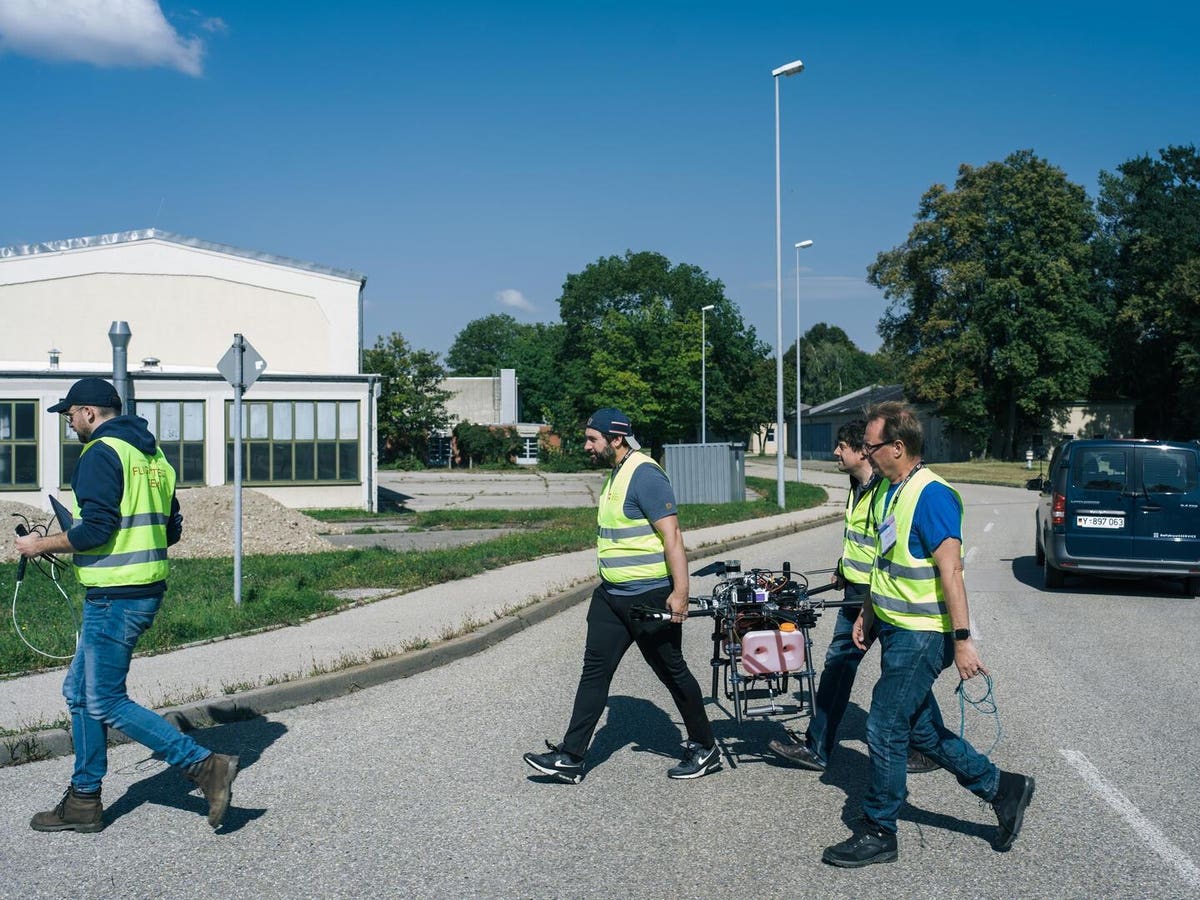
Competitors at the previous SPRIND Autonomous Drone Challenge
A new technology challenge backed by the German government offers up to half a million Euros ($569k) each to teams developing precise drone navigation without satellites. The particular applications are last-mile delivery and search and rescue, but this is a dual-use technology which may also be used for defense applications.
The challenge is needed because the market has so far failed to deliver this crucial capability.
“To start, technologically, it’s really hard,” Jano Costard, Head of Challenges at SPRIND is Germany’s Federal Agency for Breakthrough Innovation, told me. “In military applications, such as those in Ukraine, pragmatic alternatives like fiber optic drones have been adopted because immediate functionality is critical. In the civilian space, the commercial use of [autonomously navigating] drones in a widespread manner has not been realized yet.”
This 2025-2026 Fully Autonomous Flight 2.0 Challenge is the latest funding phase of a continuing program to encourage multinational innovation in autonomous drones.
Lost Without Satellites
Satellite navigation, and GPS in particular, have become ubiquitous. GPS circuitry is tiny and costs just a few dollars, and satellite navigation by phone has become so much a part of life that the paper maps, street directories, and road atlases familiar to the older generation have virtually disappeared.
Europe spent an estimated 10 billion Euros and 17 years on its Galileo satellite navigation system, an alternative to the GPS NavStar constellation operated by the U.S. military which took 20 years and cost around $18 billion – plus another billion or two a year to maintain. But recent events have made it clear that satellite navigation no longer cuts it.
System like this Russian electronic warfare unit can blank out satellite navigation over a wide area
The faint signal from navigation satellites is easy to jam. Repeated warnings about the dangers of SatNav jamming were more or less ignored until the conflict in Ukraine.
Widespread jamming by both sides has made satellite navigation almost useless. The Russians have repeatedly upgraded their Shahed drones to cope with Ukrainian jammers, and Russian jamming has rendered even military-grade GPS in U.S.-supplied guided bombs and artillery rounds ineffective. Drones need alternate means of navigation.
However, there are some promising technologies, and the SPRIND challenge should help commercialize them. In fact, it is going a step further: rather than just finding a point on the map, it aims to develop sensors to find objects such as people on the ground.
“The competition focuses on complete autonomous drone systems, encompassing both navigation capabilities and sensors,” says Costard. “Teams must demonstrate integrated system performance in real-world scenarios, specifically addressing the search and rescue and last-mile delivery use cases that form the core of this challenge.”
Deliveries & Rescues
Drone approaching a target flag in the previous SPRIND challenge
For the last-mile delivery drop, the drone has to land on an exact spot to simulate parcel delivery. The location will be given half an hour in advance, but finding the exact spot requires intelligent decision making by the autonomous drone without human assistance. Costard says that the description may be something like “House number 5, in front of the green dustbin” or “Place the parcel next to the bicycle leaning against the front door.”
This is not just navigation but will require an LLM or similar to understand the requirements.
For the search and rescue mission, the teams will be given a specified search area, again 30 minutes before mission. The drone is required to find and give the precise location of static objects, people or dummies. In a more advanced level, the subject will be moving, and the drone has to follow them and relay back their location in real time for ten minutes.
Autonomous Capabilities
The basic technology for satellite-free navigation goes way back. The U.S Tomahawk cruise missile, developed before GPS was available, had both Terrain Contour Matching, using a radar to follow the shape of the land below and Digital Scene Matching Area Correlation to identify the target area. But modern systems are far more capable and far cheaper than this 1980s technology.
The contest is open to teams from industry and universities
A wide range of visual navigation systems for drones have emerged in Ukraine and elsewhere, such as Palantir’s VNav, the Raptor Guide recently released by Maxar or the attack drones supplied to Ukraine by Lithuanian company Granta Autonomy. We may see off-the-shelf solutions contending from companies, universities, research institutions, and technology incubators, all of whom are invited to compete.
However, this is basically a European competition. The many possible Chinese contenders will be excluded, as need to be headquartered in Europe – technically anywhere in the EU, United Kingdom, Switzerland or Israel (which Costard says is “closely connected to the European innovation ecosystem.”)
U.S. companies with European office may also be eligible, provided substantial work is conducted in Europe.
“Merely maintaining a postal address is insufficient—we require evidence of significant team presence located within Europe,” says Costard.
In addition, applicants cannot already have received other public funding for their contribution to the challenge.
Teams must apply via SPRIND by Monday 9th June. On 26th and 27th June 2025, shortlisted teams will pitch for funding at an event in Leipzig, Germany. Those selected for funding will embark on a 14-month development and testing process.
Challenges offer a means to accelerate drone technology
The challenge has two stages. In the first, teams will each receive up to 150,000 Euros over seven months, with funding based on projected costs. They will then be evaluated in January 2026, and the ten strongest contenders will receive up to 350,000 Euros for the second stage.
Compared to the tens of billions spent on satellite navigation, the Fully Autonomous Flight 2.0 Challenge is a low-cost, short-term project. But the potential benefits, for both civil and military operators, are gigantic. Simply opening up reliable, efficient drone delivery services – promised for over ten years – would be a huge breakthrough. Europe could be the first to exploit those benefits.
“As historical ties of cooperation weaken globally, it is critical that Europe leverages the brightest innovators across national borders,” says Costard. “Dual-use applications of breakthrough technologies, such as those that the latest phase of our autonomous flight Challenge will fund, reflect the growing need for continental collaboration in both economic and security matters.”