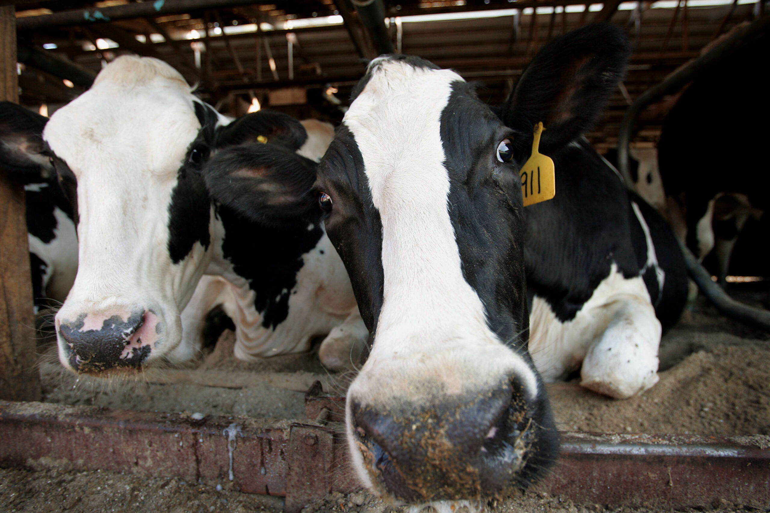
Over 5 million people across parts of the South, the Plains and the East Coast are at risk for damaging winds, large hail and possibly a tornado or two this weekend.
Storms have already been sweeping through these areas for the past few days, bringing EF2 tornado damage to Washington County, Kentucky, and EF0 damage to Loudon County, Tennessee.
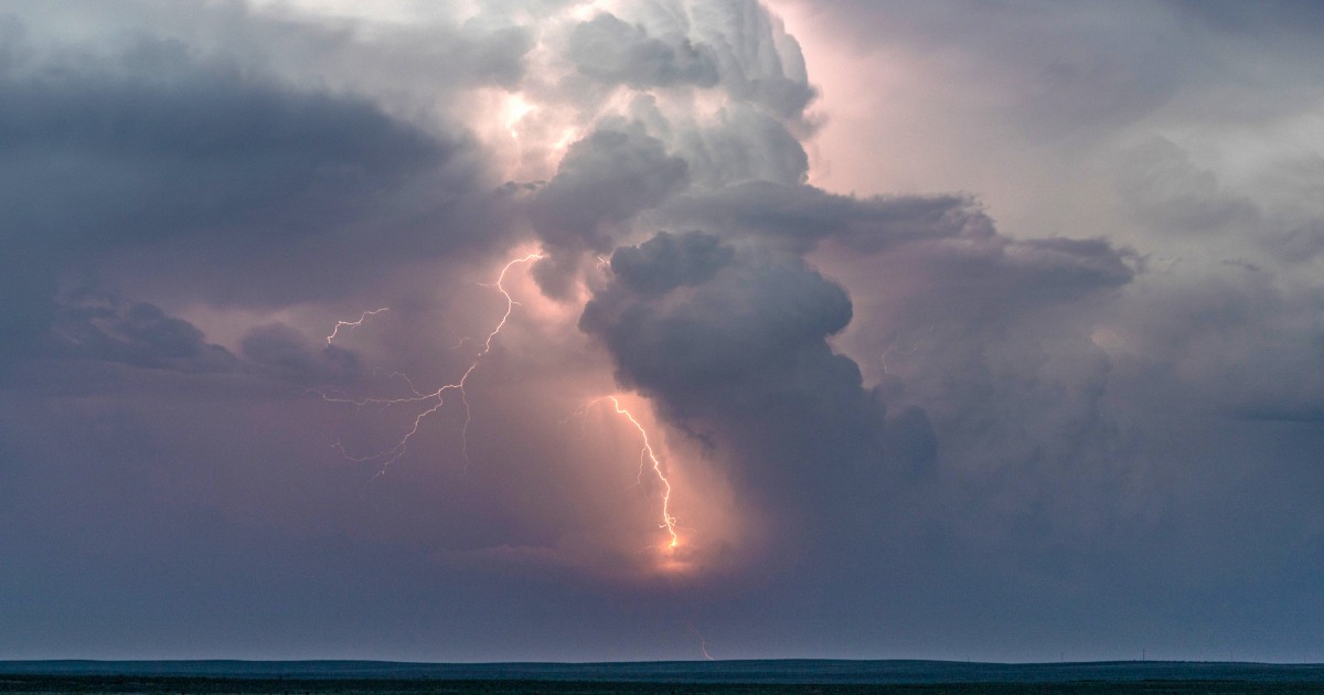
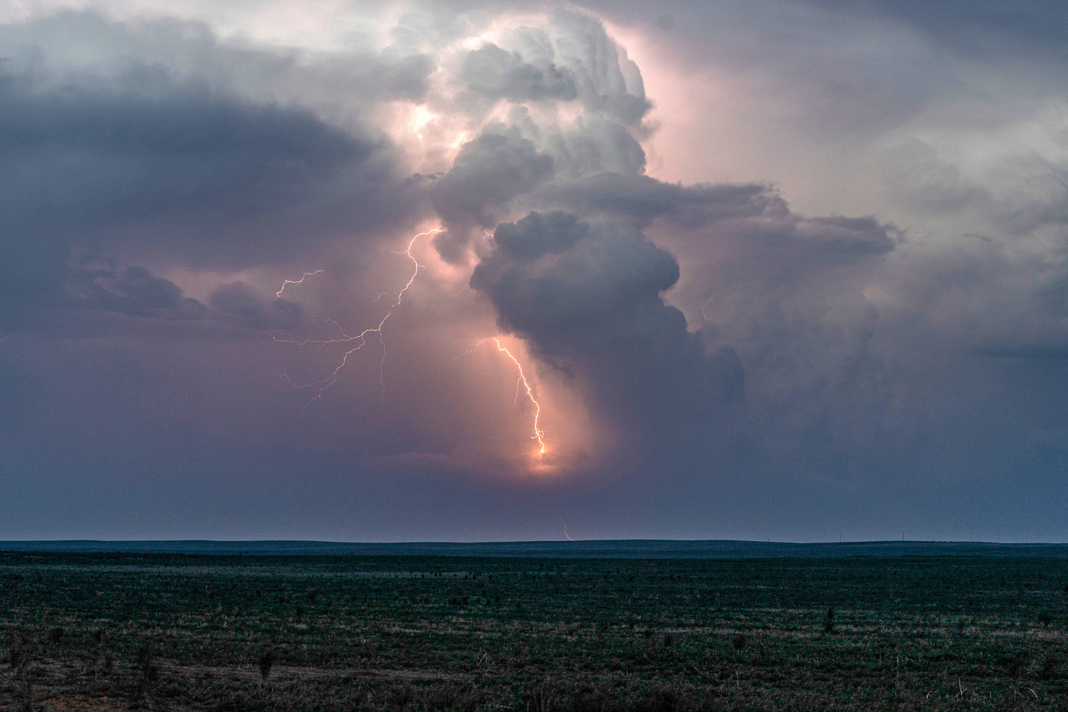
A large cluster of showers continues to push into the Northeast Saturday afternoon, with heavy rain extending from New England to the Mid-Atlantic region. As of 2 p.m. ET, storms in this region have produced frequent lightning, gusty winds and small hail. In total, 5 million across the Mid-Atlantic and the Southern Plains are under a Slight Risk for severe weather including Oklahoma City and Tulsa, Oklahoma; Wichita, Kansas; and Virginia Beach, Virginia.
Storm chances will increase on the Plains late Saturday evening, with some storms lingering early Sunday morning. These thunderstorms will bring the risk of large hail, damaging winds and a tornado or two. The severe weather risk will shift into Texas by midday Sunday, with a Slight Risk covering parts of Bryan, Waco and College Station. All severe weather hazards will be possible including hail, damaging winds, and a tornado.
Heat in the West
Various heat alerts remain in effect for 14 million people across California on Saturday afternoon, including in Sacramento, Redding and Bakersfield. Temperatures will be 10 to 25 degrees above average, with highs maxing out between 95 and 110 degrees.
Las Vegas and Reno, Nevada, face possible record highs on Saturday afternoon.
On Friday, a record-high temperature of 96 was set in downtown Los Angeles — beating the record of 95 set in 1972, according to the National Weather Service field office in the city.
These unseasonably hot conditions will also fuel fire concerns across the region. Alerts are currently in place for parts of Nevada and California, including Reno, through Sunday. Gusty 50 mph winds, above-average temperatures and low humidity will create prime conditions for fire growth.
Air quality alerts
A strong cold front will continue to drag smoke from ongoing wildfires in parts of Canada’s Manitoba and Saskatchewan provinces into the U.S. this weekend.
Currently, air quality alerts are in place for more than 20 million people across the Midwest. Minnesota and Michigan, including the cities of Minneapolis, Duluth and Grand Rapids, are in the risk zone. Smoke and hazy skies from these fires may be visible as far south as the Gulf Coast.
Air quality conditions are expected to improve across the Upper Midwest by the middle of the workweek.