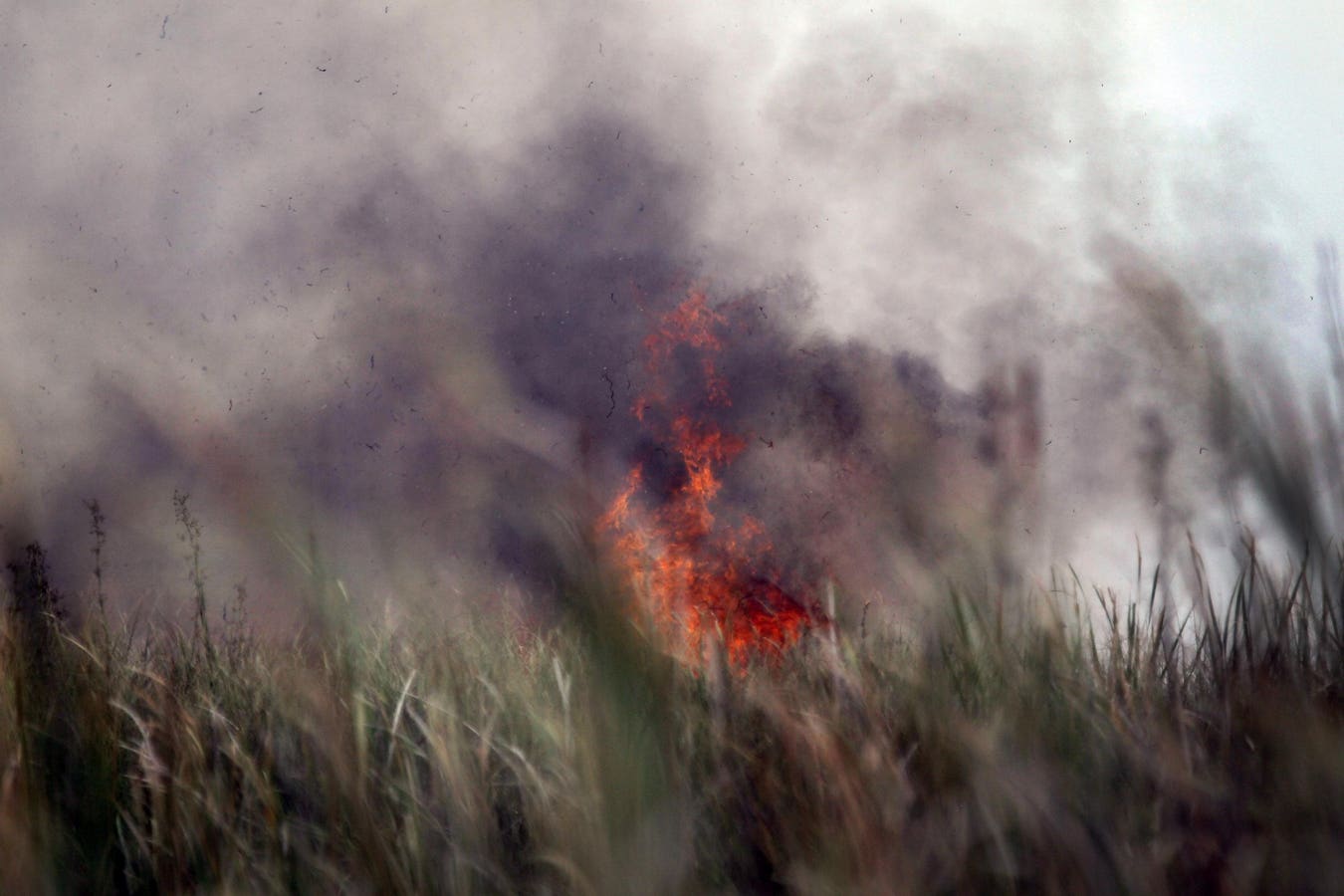

WEST DADE, FL – JUNE 10: Flames shoot up from a brush fire as Florida Division of Forestry continue … More
Part 1 of this article discussed the integration of sensor, drone, artificial intelligence, imaging and aviation technologies to identify lightning initiated fires within 40 seconds, confirm the threat, and mitigate early fire origination points before they spiral out of control.
The economic impact of wildfires in the U.S. is staggering, by some estimates in the range of ~$1T/year. The toll on human lives (firefighters and the public) and the environment is also significant, with estimates of ~15,000 lives lost in 2006-2022 due to smoke inhalation alone.
Lightning is a major cause of wildfires, accounting for the most acreage burnt (70% of the wildfire-burned land in the West were from lightning-sparked fires). According to FNN CEO Dr. Istvan Kereszy, “this was a major factor in securing funding from the federal government to develop sensors capable of detecting all lightning within a 20-mile radius and pinpointing the few, high-intensity strikes most likely to ignite fires. These sensors can rapidly alert authorities, giving firefighters critical early warning, and managing them before they spiral out of control”.
Even in cases where lightning is not the primary culprit, PyroCb (Pyrocumulonimbus) effects can cause secondary lightning, which then initiate hot spots and fires (Figure 1):
Figure 1: Pyrocumulonimbus clouds are formed when air is drawn into a smoke plume where it becomes … More
It is therefore critical to consider proactive lightning detection as part of an overall wildfire management plan that can neutralize fire initiation sites before it spreads. Time and Timing is the only thing that matters!
This article discusses the user experience of the solutions presented in Part 1 by FNN and their partners, specifically through the lens of three civil agencies – Florida Forest Service (FFS), San Bernardino County Fire Protection District (SBCFire) and the Montana Department of Natural Resources and Conservation (M-DNRC). They all deploy FNN’s High-Risk-Lightning Detector™, software and laptop/tablet data visualization powered by ForeFlight, a Boeing company.
Florida Forest Service (FFS)
Francis Neeley is the Aviation Operations Administrator for the FFS. He provided a few statistics on wildfire occurrences in the state of Florida:
- On average Florida experiences the second highest number of wildfires in the nation (2338 in 2024 vs California with 8024)
- Given the state’s geography and weather patterns, there is a high frequency of lightning strikes, almost 1M/year. Although this is behind Texas, Oklahoma and Kansas, it is still considered the lightning capital of the United States.
- The fire season is long, essentially all year. February – May (Spring) is the driest period, and so is September – December. Summer months are humid, but subject to a fair amount of storms and lightning. Even dry weather lightning can initiate wildfire sites as discussed in this NSF research article.
As a result, Florida Commissioner of Agriculture and Consumer Services, Wilton Simpson “has mandated that the Florida Forest Service work efficiently and use technology when possible to provide a safer environment for the residences and guests of the state of Florida, and to protect the natural resources and wildlife of the state”. The state legislature has provided the Florida Forest Service (FFS) with resources to upgrade from a fleet of Vietnam-era aircraft to new state of the art group of aircraft with the most modern technology for early wildfire detection and suppression. (Figures 2 and 3).
Figure 2: FFS Aerial Firefighting Fleet Includes Fixed and Rotary Wing Aircraft Patrolling & … More
Figure 3: FFS Aerial Fleet in Action. LEFT: Helicopter Dipping into a Small Lake to Acquire Water. … More
The fleet of ~30 fixed and rotary wing aircraft is operated by 23 full time pilots (Mr. Neeley is one). Apart from the aerial resources, FFS also operates ground based fire-fighting units which work in tandem with the aerial resources. The key is to bring resources to bear quickly and efficiently to wildfire hotspots before they spread. The Director of the FFS, Rick Dolan, has created a partnership with FNN to pinpoint strikes with a high probability of starting a wildfire. These locations (determined through GIS integration) are transmitted to pilots through the ForeFlight app. These areas are monitored and information coordinated with ground-based Forest Rangers to mitigate fires early in the cycle. The FNN partnership enables optimal use of resources and early intervention to prevent wildfires spread and destruction of life, property and vegetation.
Kat Cammack is the US Congresswoman from Florida’s Third Congressional District, and serves in the House Agriculture Committee (which has jurisdiction over federal lands and the US Forest Service). “In Florida, we’ve seen firsthand how FNN’s High-Risk Lightning Detection System integrates with the Florida Forest Service’s aerial team to identify and contain wildfires before they spread. This cutting-edge technology gives our first responders the critical lead time they need to protect lives, property, and natural resources. It’s exactly the kind of innovative AI we should be scaling nationwide to strengthen wildfire prevention efforts across the country.”
San Bernardino County Fire Protection District (SBCFire)
With a dry climate, plenty of flammable vegetation, and strong seasonal winds, the San Bernardino Mountains in Southern California are one of the most wildfire-prone areas in the United States, according to the US Forest Service. San Bernardino is the largest county in the continental United States, covering more than 20,000 square miles—larger than New Jersey, Connecticut, Delaware, and Rhode Island combined. Nearly 80% of the county’s landmass is public, with federal land accounting for the vast majority. SBCFire works in concert with multiple federal (US Forest Service, others) and state (CalFire, San Bernardino County Sheriff Department) agencies to manage wildfires. Budgets are limited, and inter-agency coordination in emergencies is complex, manual and time-consuming. Consequently, embracing innovation and technology to contain incipient fires quickly is critical.
The Line Fire started in September 2024 near the community of Highland and spread into the San Bernardino National Forest. It forced an evacuation of multiple communities, and burnt ~45K acres. The original cause of the fire is suspected to be human/arson. However, the smoke caused secondary lightning and created other potential fire initiation sites (1700, see Figure 4, LEFT). FNN sensors were already in place, thanks to federal funding and proactive deployment by San Bernardino County. The district already had a community wildfire protection plan (CWPP), but these are long and detailed documents, good for training, but not effective for real-time efforts and community engagement. FNN helped to translate this plan into an online, real-time digital platform that integrates ArcGIS Online to pair strike location (from its sensor data) with > 30 weather-related variables like flammability, humidity, vegetation, and rain data analyzed by AI algorithms and converted to a digital dashboard that can display historical data and also as real-time tool for firefighters
As the fire intensified and began generating PyroCb events, these sensors provided real-time updates on High-Risk Lightning strikes that could potentially ignite new fires. Armed with this information via a Foreflight app (Figure 4, RIGHT), firefighters could target emerging risks and contain the blaze far more effectively.
Figure 4: LEFT: The Line Fire Smoke Plume Produced over 1700 Lightning Strikes. RIGHT: The FNN … More
The combination of early sensor warnings and the GIS enabled dashboard resulted in zero loss of life and property, and greatly minimized burned acreage (45K acres).
As opposed to the Line Fire, the Park Fire in Northern California in July 2024 resulted in ~500K burned acreage and cost $350M to contain. It was also human initiated, but spread as the pyroCB effects caused secondary lightning strikes. The Los Angeles fires in January 2025 were initiated due to failures in the electric transmission network. The occurrence of pyroCB and secondary lightning is unclear, but it incurred even greater losses, see Part 1 of this article. These jurisdictions do not currently have the kinds of proactive wildfire detection solutions that San Bernardino County had.
SBC Fire Protection Chief, Dan Munsey, is a 30 year firefighting veteran. He is also an acknowledged expert on wildfire management and has testified at the U.S. Congress on multiple occasions. He will be testifying to the House Natural Resource Committee on 26 June, 2025 at an oversight hearing titled “Fix Our Forests: Advancing Innovative Technologies to Improve Forest Management and Prevent Wildfires.” He is also a judge for the XPRIZE Wildfire competition, a “competition incentivizing the innovation of firefighting technologies”. The goal is “the development of new technologies that can rapidly and accurately detect, characterize, and respond to wildfires before they become destructive.” FNN is one of the semi-finalists.
Chief Munsey’s vision is to “is to keep fires to 100 square feet or less, 90% of the time”. Current target metrics are ~500,000 sq. ft., 90% of the time. The 5,000X vision needs technology, which he has initiated with multiple providers like FNN. The goals are:
- Improve stakeholder communication and involvement in wildfire preparedness efforts
- Identify and prioritize communities and areas to reduce volume of flammable vegetation, and proscribed burning to reduce wildfire risks
- Direct and optimize resources optimally and effectively to detect and control early sites
- Achieve the 5,000X vision
Achieving the 5,000X vision also needs autonomy approaches with unmanned
systems and autonomous robotics for aerial wildfire verification and management. To this end, Mr. Munsey organized an event to showcase the operation of an autonomous Blackhawk drone named Rain (Figure 5):
Figure 5: Autonomous Wildfire Extinguishing Demonstration Using a Blackhawk Drone
Montana Department of Natural Resources and Conservation (M-DNRC).
M-DNRC installed FNN detectors and digital tools in late 2024 via a federal grant (similar to the San Bernadino example above). Don Kopple is a Program Manager in the Fire Protection Bureau, Forestry Division which is part of M-DNRC. He indicated that 25% of the wildfires in Montana are due to lightning. These fires cause 55% of the forest vegetation destruction, which typically occur in unpopulated and remote regions including mountains. Holdover fires can smolder for days and suddenly accelerate as combustible conditions develop. Smoke from such fires are difficult to detect. This provides the motivation to deploy lightning detectors to provide proactive alerts on high risk strikes. Aerial fleets patrol these locations to inspect and verify at which point, aerial and ground firefighting resources are deployed.
Figure 6 shows the types of aerial fixed wing and rotary wing aircraft (piloted) that M-DNRC currently has (3 fixed wing, 5 rotary wing).
Figure 6: Fixed and Rotary Wing Aircraft for Wildfire Detection and Suppression
Fixed wing aircraft are equipped with daytime cameras and perform inspection and verification of high-risk fire sites, after which rotary wing assets perform emergency fire suppression until ground fire-fighting resources can get to the area. There is also an additional fixed wing aircraft (Figure 7), currently on contract from Bridger Aerospace, a Montana-based company that specializes in aerial firefighting. These are equipped with a payload consisting of short, medium and long wave infrared cameras that can detect thermal hotspots during day or nighttime. Apart from sensing and verification function, these aircraft can also scoop up to ~1500 gallons of water from neighboring location for temporary firefighting. The payload and AI-based perception software is provided by Overwatch Imaging, an Oregon-based company that specializes in sensor payloads and software for various missions including firefighting.
Figure 7: Bridger Aircraft (L) with Overwatch Sensor Payload (C) and Resulting IR and Visible … More
M-DNRC is also in the process of acquiring three additional fixed wing aircraft (Cessna 206) which will carry the Overload Imaging payload.
The peak fire season in Montana is May-October. Mr. Koppel is looking forward to the FNN, Bridger and Overwatch engagement to “prioritize safe, aggressive initial attack. Our fire program is using every available tool, including infrared technology, to detect wildfires earlier, before they produce visible smoke. Early detection allows our firefighters to respond quickly while fires are still small and manageable, helping to protect Montana’s communities and natural resources while reducing costly suppression efforts from large fires”.
Currently, FNN products are also deployed in Australia and Brazil, mainly as a test case to study performance in the Southern Hemisphere which has different climate patterns and ecosystems. In the United States, Oregon, Idaho and New Jersey are in the process of deploying and testing solutions similar to the three examples cited above. Hopefully, other states with high wildfire risks will adopt some of these technologies. Political capital is needed, and of course money. The people quoted here can make it happen!
It is clear that proactive solutions to prevent wildfires spinning out of control is critical. Since primary or secondary lightning plays a big role in initiating wildfires, detecting high risk locations and using GIS-enabled real time digital apps to confirm and mitigate infant fires is an imperative to minimize loss of life, pollution, property and natural resource damage. Use of advanced sensors (thermal, LiDAR, lightning) is also critical as is using aerial autonomy solutions for rapid deployment.